Your Guide to Waterfalls Near Hendersonville
From peaceful cascades tucked into the forest to dramatic drops that roar after a summer rain, these scenic spots are perfect for hiking, photography, or just cooling off. Here’s your guide to some of the area’s most beautiful and accessible waterfalls.
Soothing Sounds of Nature
**Please note: in the aftermath of Hurricane Helene, not all of these trails have reopened. Please explore any that are open at your own risk, as there is likely a lot of work that still needs to be done to clean up the trails.**
Western North Carolina is full of natural beauty, and the waterfalls around Hendersonville are some of the most stunning sights to see. From quick roadside stops to longer hikes with a big payoff, these falls offer the perfect excuse to get outside, cool off, and enjoy the view.
This guide highlights some of the best waterfalls in the area—including spots in DuPont State Recreational Forest, Pisgah National Forest, along the Blue Ridge Parkway, and beyond—so you can plan your next peaceful escape or outdoor adventure.
Waterfall safety
Waterfalls are beautiful but can also be unpredictable, so it’s important to stay aware and make safe choices while exploring. Keep these simple tips in mind to help ensure a fun and safe adventure:
Stick to Marked Trails
Stay on designated paths and follow posted signs. Going off-trail can lead to slippery spots or unstable ground.
Watch Your Step
Rocks near waterfalls can be slick—even if they don’t look wet. Wear sturdy shoes and take your time as you explore.
Mind the Water Levels
Heavy rains can quickly change the flow of a waterfall. Keep an eye on conditions and avoid entering swift-moving water.
Keep a Safe Distance
Enjoy the view from a safe spot, especially near cliff edges or overhangs. The ground can shift unexpectedly, and it’s not worth the risk.
Skip the Climb
Climbing on or around waterfalls might look fun, but it’s not safe. Rocks can be loose or slippery—even for experienced hikers.
Keep Kids Close
Waterfalls are exciting for little ones, but they can also be dangerous. Supervise children closely and encourage them to stay on the trail.
Follow Posted Signs
If an area is closed or a warning is posted, it’s for a reason. Respect all signage to help keep yourself and others safe.
Dupont State Forest
DuPont State Recreational Forest is one of the most popular places to see waterfalls near Hendersonville—and for good reason. Triple Falls, Hooker Falls, and High Falls are all located within just over a mile of one another, making it easy to visit several stunning cascades in a single hike. Film buffs might recognize Triple Falls and Bridal Veil Falls from scenes in major motion pictures.
This area sees a lot of foot traffic, especially on weekends, so plan to arrive early for the best experience. Sundays tend to be a great option for lighter crowds.
-
Bridal Veil Falls:
Bridal Veil Falls, located in DuPont State Recreational Forest, is one of the area’s most picturesque waterfalls. This 120-foot cascade is unique for its overhanging ledge, allowing visitors to walk behind the waterfall—an experience that’s made it a favorite spot for photographers and filmmakers alike, including in The Last of the Mohicans.
-
Grassy Creek Falls:
Grassy Creek Falls, a hidden gem in DuPont State Recreational Forest, is a serene 60-foot waterfall that’s perfect for those looking to explore a less crowded spot. This beautiful fall offers a peaceful atmosphere, surrounded by lush forest and accessible by a simple hike. The waterfall is known for its tranquil setting, making it an ideal location to relax and enjoy nature’s beauty. Visitors can get a great view from the top, and for those feeling adventurous, you can climb down to the middle of the falls—but be sure to use caution, as the rocks can be slippery. Grassy Creek Falls is a great spot for anyone seeking a quieter waterfall experience.
-
High Falls:
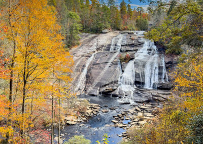
High Falls, one of the most stunning waterfalls in Western North Carolina, drops a dramatic 150 feet, making it a must-see in DuPont State Recreational Forest. With multiple viewpoints along the way, you can choose between a closer view at the base or a more panoramic perspective from above. The waterfall’s beauty is undeniable, with the powerful cascade creating a serene atmosphere, especially when surrounded by the lush forest.
This popular spot can get busy, especially on weekends, but its grandeur makes it worth the visit. High Falls is also a fantastic winter destination, offering a quiet, peaceful experience when the crowds are smaller.
-
Hooker Falls:
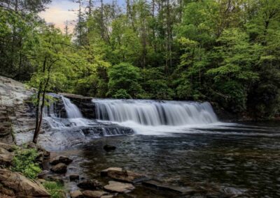
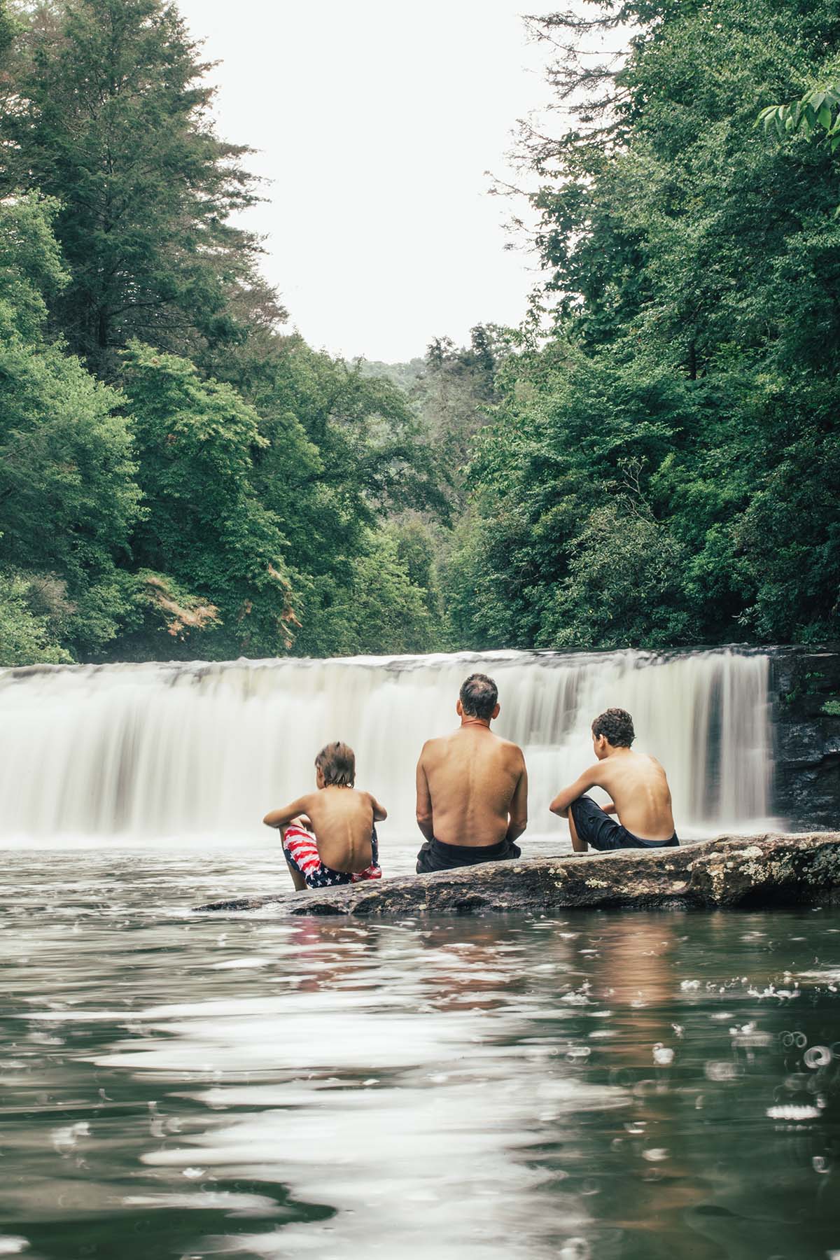
Just a short distance from Triple Falls, Hooker Falls is an easy 1/2-mile roundtrip hike from the parking area. At 12 feet, it may not be the tallest waterfall in the area, but its wide cascade and inviting pool below make it a favorite spot for visitors, especially those looking to cool off with a swim.
-
Triple Falls:
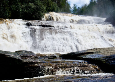
Triple Falls is one of DuPont State Recreational Forest’s most iconic waterfalls, famous for its role in The Hunger Games. This striking cascade drops in three distinct tiers, totaling around 120 feet, creating a breathtaking scene. Whether visiting in spring, summer, or fall, the beauty of Triple Falls makes it a popular destination year-round.
Due to its popularity, the area can get crowded, especially on weekends, so it’s best to visit early in the day for a more peaceful experience. No matter when you go, the sight of Triple Falls is sure to leave you in awe.
Pisgah national forest
With over 500,000 acres of pristine wilderness, Pisgah National Forest is just a short drive from Hendersonville and offers countless opportunities for outdoor adventures. Among its many highlights are stunning waterfalls, some of which are internationally recognized and conveniently located right off the road.
-
Looking Glass Falls:
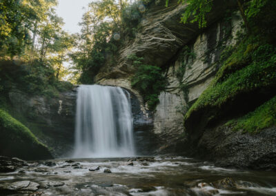
Looking Glass Falls is one of Pisgah National Forest’s most visited and photographed waterfalls, and it’s easy to see why. Conveniently located right off the road, it offers scenic views for those who prefer not to hike, while a set of stairs leads down to the base for those wanting to get closer to the falls. The cool waters below the 60-foot cascade make for a perfect spot to swim, and the location is stunning year-round.
-
Moore Cove Falls:
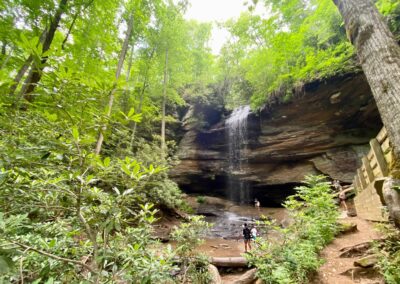
Moore Cove Falls is another popular spot, offering an easy 1.4-mile hike that’s perfect for families and kids. The trail features a few stairs and gentle inclines, making it a manageable adventure for all ages. At the end of the trail, you’ll be rewarded with a beautiful 50-foot waterfall, where you can even stand underneath the cascading water for a truly immersive experience.
-
Slick Rock Falls:
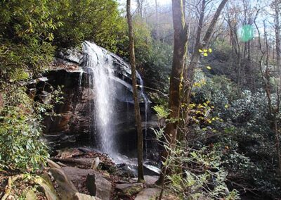
Slick Rock Falls is a hidden gem in Pisgah Forest, offering a more peaceful and less-crowded experience. This 35-foot waterfall cascades dramatically from a cliff face, and while you can catch a glimpse from the side of the road, it’s just a short walk from the parking area to fully take in its beauty. Keep in mind, the road leading to the falls can be a bit rough and bumpy, adding to the adventure.
-
Sliding Rock:
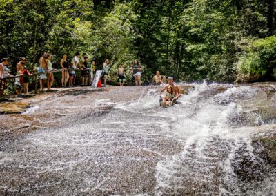
A favorite for all ages, Sliding Rock is a natural waterslide where you can slide down a smooth 60-foot rock face into a refreshing pool of cold mountain water, fed by 11,000 gallons of rushing water per minute.
As one of the few paid waterfalls in the area, there’s a small fee of $5 per person, which helps maintain the site and provide lifeguards from Memorial Day through Labor Day. It’s a popular spot, so arriving early or visiting on a weekday is a great way to avoid the crowds.
Blue Ridge Parkway
The Blue Ridge Parkway stretches for miles, and while we’ve highlighted some of the closest waterfalls to Hendersonville, there’s much more to explore. If you’re planning a day trip along the Parkway, be sure to do a little research ahead of time—there are plenty of additional waterfalls, scenic overlooks, and hikes further out that are worth the visit. The Parkway is an incredible way to experience the beauty of nature, especially during the spring, summer, and fall.
(Please note: most of the sections of the Blue Ridge Parkway closest to Hendersonville and going west from here are closed all winter due to snow, freezing temperatures and unsafe road conditions.)
-
Graveyard Fields Upper & Lower Falls:
Graveyard Fields, located on the Blue Ridge Parkway, is a favorite destination for its easy access, wild blueberry picking in late summer, stunning fall foliage, and two beautiful waterfalls.
The Lower Falls is a quick but scenic stop, just a short hike from the parking area, offering a peaceful spot to take in the beauty of the cascading water. For those looking for a bit more of an adventure, the Upper Falls requires a moderately challenging hike, with some uphill sections and natural terrain, but rewards visitors with a stunning view of the falls. Whether you’re seeking a short trip or a more immersive experience, Graveyard Fields offers something for everyone.
-
Skinny Dip Falls:
Skinny Dip Falls, tucked away in the Pisgah National Forest, is a hidden gem that’s perfect for a refreshing escape. This scenic waterfall cascades into a natural swimming hole, inviting visitors to take a dip or simply enjoy the peaceful surroundings. The short hike to the falls, though slightly uphill, is well worth the reward, offering a serene spot to relax and cool off.


