


**Partially Open as of 12/12/24; Some parts of the trail closed because the Blue Ridge Parkway is closed**
The Mountains to Sea Trail (MST) is the state’s official hiking trail. It covers 1,175 miles, from Great Smoky Mountains National Park in Western North Carolina to the Outer Banks in Eastern North Carolina. On its western-most end, it connects with the Appalachian Trail. The trail is split into sections, and the sections closest to Hendersonville include Sections 2 & 3.
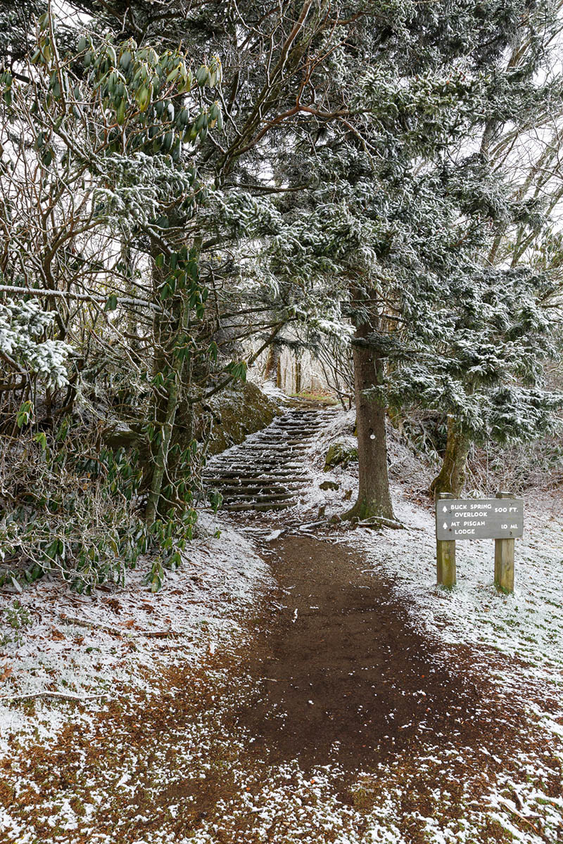
Section 2: The Balsams — This stretch of trail, which begins far to the west of us and ends at the Pisgah Inn on the Blue Ridge Parkway, is rated “Strenuous” due to its significant elevation changes with steep climbs and descents, difficult trail tread, and long stretches without road crossings. This section includes the third highest peak on the entire trail, Waterrock Knob, which is at 6,292 feet in elevation. This section passes near some of the most popular parts of this section of the Blue Ridge Parkway, including Richland Balsam, Wildcat Falls, Devil’s Courthouse, Black Balsam Knob, Sam Knob, Graveyard Fields and Graveuard Fields Falls, Skinny Dip Falls, and more.
Section 3: The High Peaks & Asheville — This stretch of trail, which “begins” at the Pisgah Inn on the Blue Ridge Parkway, is rated “Strenuous” due to its significant elevation changes with steep climbs and descents, and difficult trail tread. The portions of Section 3 that are closest to Hendersonville primarily stay near the Blue Ridge Parkway and go through the Bent Creek area, and pass by the Blue Ridge Parkway Welcome Center and Southern Highland Craft Guild Folk Art Center. This stretch ends to the north east of Hendersonville, in Black Mountain.